Where is the Peloponnese, and what is in each part of it
TLDR
- •It is the southern peninsula of mainland Greece, below the Gulf of Corinth
- •The Corinth Canal cut it from the mainland in 1893, so it is technically an island
- •Four peninsulas point south: Messenia, the Mani, Laconia and the Argolid
- •Kalamata in the southwest is the practical airport
- •Mount Taygetos reaches 2,404m, the highest point on the peninsula
The Peloponnese is the large peninsula that forms the southern part of mainland Greece. It sits below the Gulf of Corinth, connected to the rest of the country at the Isthmus of Corinth, and the Corinth Canal has cut through that isthmus since 1893. So it is technically an island, and nobody calls it one.
Athens is about four hours away by road. Kalamata, in the southwest, has its own airport and is the practical gateway for the west and the south.
The four fingers
Look at a map and the peninsula ends in four southward projections. They are not variations on a theme.
Messenia, the westernmost, is the fertile one. Olive country, long sandy beaches at Voidokilia and Costa Navarino, and Kalamata at its head.
The Mani is the middle finger and the strangest. Limestone, tower houses, and almost no soil. Mount Taygetos runs its length and reaches 2,404m at Profitis Ilias, the highest point in the Peloponnese, on the Peloponnese Region's own figure.
Laconia is the Sparta valley and the Evrotas, running down to Gytheio and the eastern Mani coast.
The Argolid, easternmost, holds Nafplio, Mycenae and Epidaurus, and is the closest of the four to Athens.
What is in each part
| Region | What it is for |
|---|---|
| Messenia | Beaches, olive country, Kalamata airport, Ancient Messene |
| The Mani | Tower houses, limestone, Cape Tainaron, the Diros caves |
| Laconia | Sparta, Mystras, Gytheio, Monemvasia further east |
| The Argolid | Nafplio, Mycenae, Epidaurus, closest to Athens |
| Arcadia, the interior | Mountain villages, gorges, very few visitors |
| Elis, the northwest | Olympia |
The practical consequence
You cannot do it in a week. People try, because on a map it looks like a manageable circuit, and they spend the week driving.
Pick two of those rows. The most common good combination is Messenia and the Mani, flying into Kalamata, because they are adjacent and the airport is between them. The other strong one is the Argolid and Laconia, using Nafplio and Monemvasia, if you are coming from Athens.
Getting there
Kalamata (KLX) takes seasonal direct flights from northern Europe and puts you an hour from the Mani coast.
Athens (ATH) is the year-round option and costs you most of a day at each end. Worth it if you are combining the peninsula with Athens itself or with the Argolid, which is on the way.
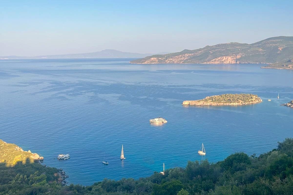
There is no useful rail network for any of the places in the wider peninsula, and you will need a car. If you want to see where we base ourselves, it is a house above Kalamitsi bay on the Mani coast.
Frequently Asked Questions
Is the Peloponnese an island?
Technically yes, since the Corinth Canal cut through the Isthmus of Corinth in 1893, but it is universally treated as mainland Greece and the crossing is a bridge you barely notice.
What is the largest town in the Peloponnese?
Patras in the northwest is the largest city. Kalamata in the southwest is the one most visitors use, because it has the airport that serves the south and west.
How far is the Peloponnese from Athens?
Roughly four hours by road to the southwest, less to the Argolid, which begins about two hours out. There is no fast rail link to the south.