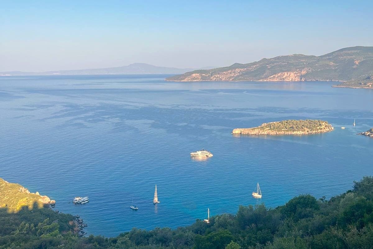
Mani, Greece: a complete guide to the strangest peninsula in the country
TLDR
- •The Mani divides into Outer, the waist, and Deep Mani, and they are not alike
- •The towers were built against the neighbours, not against the Ottomans
- •The Ottoman occupation on the ground was a single fortress
- •206 mapped eating places, 17 websites: you cannot plan dinner from home
- •Two bases, seven nights, and a small car
The Mani is the middle of the three peninsulas that hang off the southern Peloponnese, and it is the part of Greece that most rewards understanding before you arrive.
The three Manis
Outer Mani runs from about Kitries down the west coast through Kardamyli, Kalamitsi, Stoupa and Agios Nikolaos. Taygetos comes almost to the sea. There is water, olive groves, cypress and shade. This is the green Mani and it is what most people who love the region are picturing.
The waist is Oitylo, Limeni, Areopoli and Pyrgos Dirou on the west, Gytheio on the east. The peninsula narrows, the road crosses, and the tower architecture starts to dominate villages rather than punctuate them. Areopoli is the practical capital of the south.
Deep Mani, south of Areopoli, is Gerolimenas, Alika, Vatheia, Porto Kagio and Cape Tainaron. Bare limestone, almost no shade, and the most extraordinary landscape in southern Greece.
The towers were not built against the Turks
This is the thing everyone gets wrong, and correcting it opens up the whole peninsula.
The Ottomans barely came here. Across the entire Ottoman period, occupation on the ground "seems to have been restricted to the fortresses of Passava", in the words of the archaeologist who has done the most fieldwork on the peninsula's old settlements.
The strongest evidence is a document that does not mention the Mani at all. Immediately after conquering the Peloponnese, the Ottoman administration compiled a tax register for the whole region, in 1460 to 1463. The Mani is not in it, and the likely explanation is that it had not been fully conquered.
So who were the towers for? Each other. And the government that finally pulled them down was Greek: in 1833, after independence, the Bavarian regency governing the new kingdom took action to dismantle them.
The engine underneath is the ground
The peninsula is Mesozoic carbonate rock, overwhelmingly limestone. What sits on top is the problem: shallow lithosols and rendzina soils with a low capacity for holding water.
In a landscape where almost nothing holds water, the few places that do are the only assets there are. Land divides between sons, and two generations of that in a place with no spare land leaves two exits. Take somebody else's terrace, or leave.
Both happened. In October 1675, some 730 Maniots sailed from the bay of Oitylo on a Genoese ship and reached Corsica the following March, settling at Paomia in what is now Cargèse. There is still a Greek-rite church there.
What that means for your week
The Mani has had proper roads for about 50 years. It was treated as a backwater until the 1970s, when the government began building roads that made it accessible by car.
A place that was hard to reach until then never built the machinery that makes a coast interchangeable. Which is exactly what the sourcing data shows: we checked and the peninsula has 206 mapped eating and drinking places and 17 websites between them, measured on 24 August 2026.
That is 8 per cent existing, not 8 per cent dead. You cannot research dinner in the Mani from your sofa. Telephone at midday, ask if they are open tonight, and ask where you are staying where they are eating this week.
The practical shape
Two bases, seven nights minimum. One in Outer Mani for the green half, one at the waist or in Deep Mani for the stone half. Sleep in Deep Mani at least once, because it is a dawn and dusk landscape and day-tripping it means seeing it at its worst hour.
More on the wider region in the peninsula as a whole. If you want the Outer Mani coast with the bay in front of you, this house above Kalamitsi is where we base ourselves.
Frequently Asked Questions
Why does the Mani have tower houses?
Because families fought each other over the small amount of land worth farming, and if your neighbour can drop a stone on your roof and you cannot reach his, you lose. So you build higher. They were not built against the Ottomans, whose occupation of the peninsula amounted to a single fortress.
Is the Mani worth visiting?
If you want a landscape and a history rather than an arranged holiday, it is one of the most rewarding parts of Greece. If you want to book dinner before you fly, it will make you unhappy: 92 per cent of its eating places publish nothing at all.
How do you get to the Mani?
Fly to Kalamata, which is about an hour from Kardamyli on the coast road. Athens is roughly four hours and costs you a day at each end.