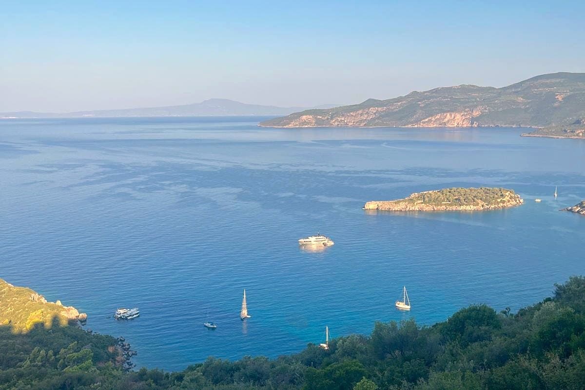
Cape Tainaron: the southernmost point of mainland Greece
TLDR
- •The southernmost point of mainland Greece, at the end of the Mani
- •Known in antiquity as an entrance to the underworld
- •You walk the last stretch; there is no road to the lighthouse
- •Go at the end of the day, not the middle
- •About 10km from Alika, on the resort's own published figure
Cape Tainaron, also called Cape Matapan, is where mainland Greece stops. It is the tip of the Mani, which is the middle of the three peninsulas at the bottom of the Peloponnese, and getting there is most of the experience.
What is there
A lighthouse, a path, a small ruined chapel built on the site of an ancient temple to Poseidon, and a very great deal of sea.
In antiquity the cape was one of the places identified as an entrance to the underworld. Standing on it at dusk, with no vegetation, no buildings and the sea on three sides, you can see how the idea occurred to somebody.
Getting there
Drive to the small car park at the end of the road beyond Vathia and Porto Kagio, then walk the last stretch. It is not a difficult path but it is stone, uneven and unshaded, and it takes longer than the distance suggests.
Distances published by Alika Resort, which sits up the road: Cape Tainaron 10km, Vathia 4km, Gerolimenas 3km, Areopoli 20km. Those are honest numbers and they take about twice as long as they read, because the southern roads are slow, coastal and in places single-track.
When to go, and this matters more than usual
The end of the day. Not the middle of it.
Deep Mani is limestone with almost no tree cover, and the rock reflects heat upward as well as holding it. Between late morning and late afternoon in summer this is a genuinely punishing place to walk, and it is objectively less beautiful in hard overhead light than it is at either end of the day.
Go for the last two hours of daylight. It is the best hour in the Mani and it costs nothing.
What to take
More water than you want to carry. There is nowhere to buy any and the villages are small and often shut.
Proper shoes. The path is rock.
A full tank. Fuel south of Areopoli is sparse and hours are not reliable. Do not go into Deep Mani on a quarter tank.
Combining it
Porto Kagio, just north of the cape, has a sandy beach and places to eat by the water. Akrotiri there describes itself as "right on the sandy beach of Porto Kagio", with a snack bar and a sea-view restaurant with a fireplace, which tells you something about how the end of the peninsula feels out of season.
Vathia, the much-photographed tower village, is 4km back up the road and worth stopping at on the way down rather than on the way back in the dark.
The rest of the peninsula is covered in the rest of the region. If you want a base for the drive south, the house above Kalamitsi bay is about two and a half hours away and worth the day.
Frequently Asked Questions
How long does it take to walk to Cape Tainaron lighthouse?
Allow around 40 minutes each way from the car park at a comfortable pace, more if it is hot. The path is stone and uneven and there is no shade at any point.
Is Cape Tainaron the southernmost point of Europe?
No. It is the southernmost point of mainland Greece and of the Balkan peninsula, but Tarifa in Spain is further south on the European mainland, and several Greek islands are further south still.
Can you drive to Cape Tainaron?
Only as far as the car park at the end of the road. The final stretch to the lighthouse is on foot, which is part of why it is worth doing.